Narrative Cartographies: Creating an Atlas as a Novel
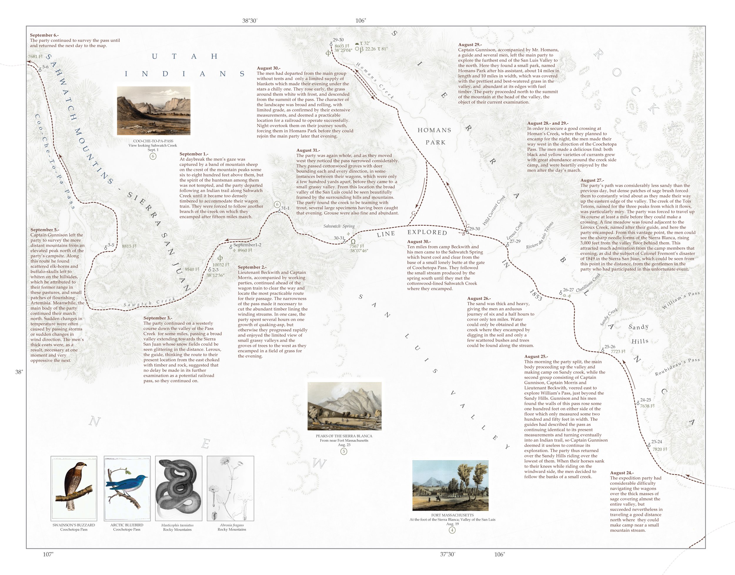
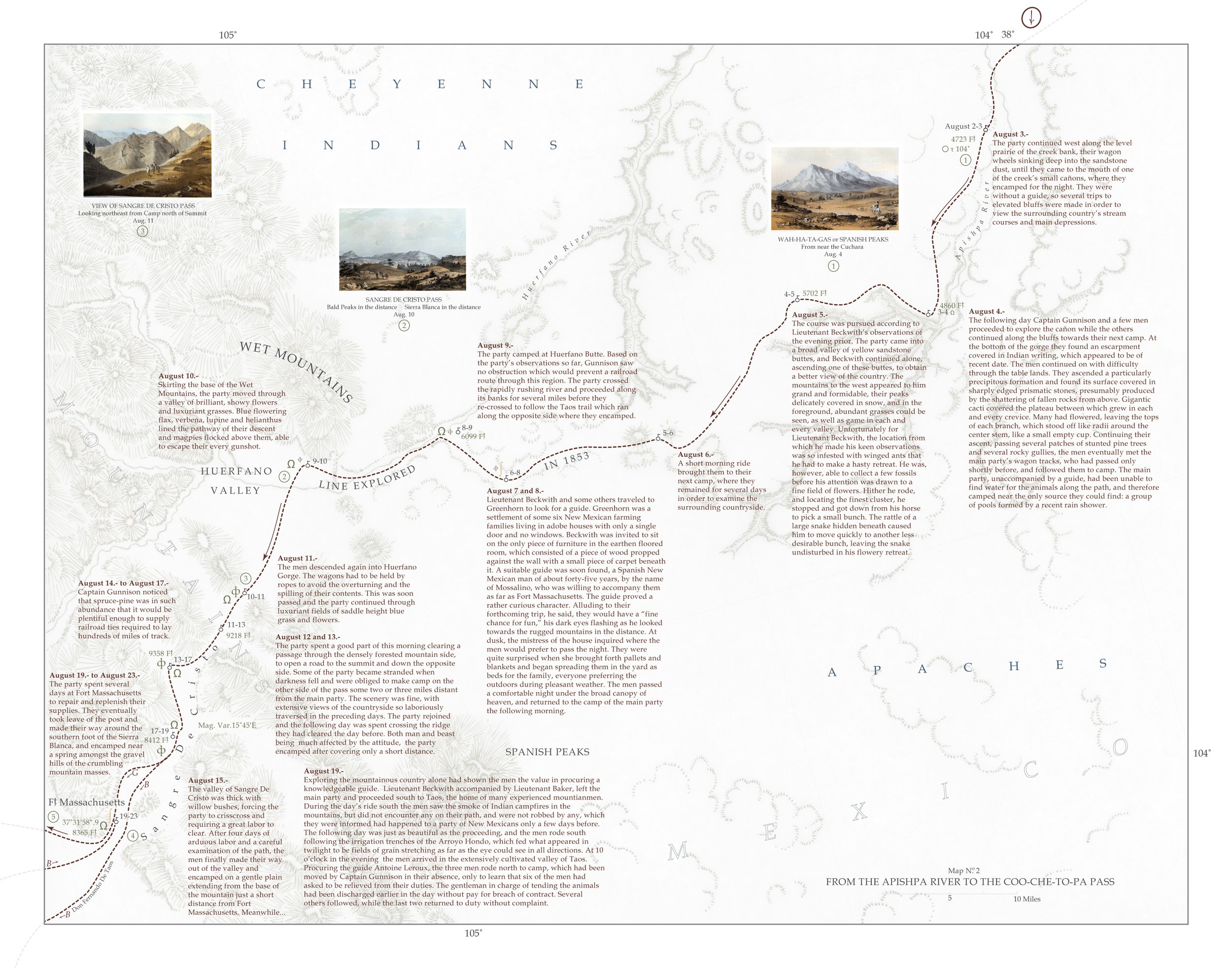
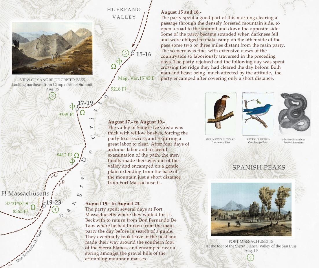
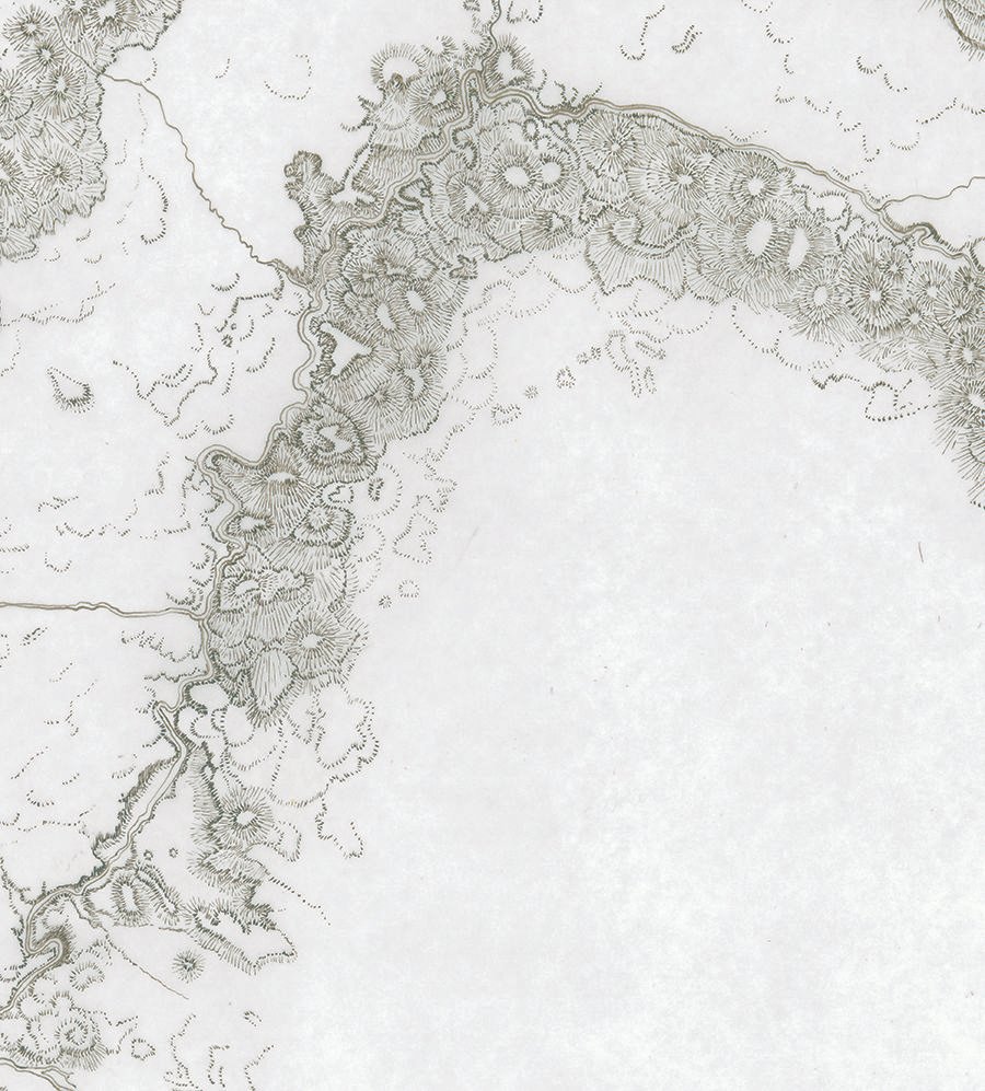
Original map illustrations (below) were used to help depict the Gunnison-Beckwith survey for the Pacific Railroad (1853-1854) in the Atlas of Explorations for the Pacific Railroad. This atlas integrates components from the original Pacific Railroad Reports with new spatial and temporal elements, producing an integrated narrative piece designed to be read as a novel. The design mimics the original incorporated format of the Railroad Reports through the linking of original report materials (text, narrative and illustration) by location within each new original map. Historic cartographic techniques are preserved through the combination of hand-drawn (detail of the hand-drawn relief technique above) and digital elements; using current data as a guide, relief was hand rendered following the tradition hachuring style of the 19th century cartographer and combined with modern digital symbols chosen to mimic the original historic style of those found in the reports. The example (above) displays a mountainous area north-west of present day Grand Junction, Colorado through which the expedition party passed on their way to California.


